Using fiber optic cable for private networks is not new; however, with increasing size and complexity, managing these networks has become more crucial. Utilities are losing traditional communications options from public carriers, such as frame relay, as those companies are pivoting to serve the digital wireless and video markets. These changes are driving the need for utilities to build their own private communications networks to support increased real-time applications.
Currently, most documentation needed to manage these networks resides in many different systems and is not easily accessible by all users. The data is also stagnant; fiber assignments, for example, reside in multiple spreadsheets and in record documents that are rarely updated. This makes planning for capital improvements, outages and general maintenance increasingly costly and difficult as the network grows larger. Using a geographic information system (GIS) to manage documentation allows utilities more accurate and complete network information, easier accessibility, improved usability, and reduced operations and maintenance costs.
ACCURATE AND COMPLETE NETWORK INFORMATION
Fiber optic cable plant documentation has traditionally been maintained in a variety of systems: transmission Power Line Systems-Computer Aided Design and Drafting (PLSCADD) for the splice location and optical ground wire (OPGW) span information, substation record documentation for entry cable and conduit drawings, rack layouts and interior cable runs, and Excel spreadsheets for fiber assignments often combined with splicing diagrams in Visio or CAD.
Consolidating this information using a GIS-based tool eliminates any need to replace all transmission and substation records because it pulls existing data from its current location. This data integration — or a change in process documentation of where specific data resides — allows for a single source of truth regarding all aspects of the fiber cable, provides robust reporting for multiple users and allows for near-real-time data updates with field data collection.
Determining the right documentation to include in a newly deployed GIS-based system is a critical first step. Consolidating data from an existing management system to a GIS-based system eliminates duplicated information. The consolidation of data should be done by several resources, not just one team. This frees up the network data owners to check the data for quality and completion. As the data is vetted and available, all users can gain the full benefits of using GIS.
IMPROVED ACCESSIBILITY AND USABILITY
Consolidated and accurate information decreases time and errors. For example, existing fiber cables operate primarily on a substation-to-substation basis before a unified network is installed. Once a private unified network is deployed, outage planning must consider the larger implications of taking a fiber cable out of service. Such a cable could be serving multiple substations not directly affected by the associated electrical outage, making accurate and accessible information even more critical.
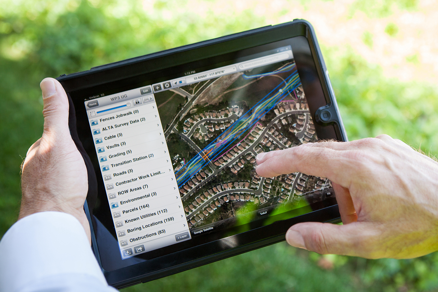
Using a GIS system to store network data allows all teams to access and edit data seamlessly, meaning planning, engineering and field technicians can all perform their daily tasks with the most accurate and current information. A complete GIS system may use several tools, depending on the location of the task being completed. Field technicians, planning engineers and others who need easy remote access to make real-time edits while in the field rely on mobile data collection tools. This becomes a critical aspect as technicians are troubleshooting fiber outages and strand assignments; the instant adjustment captured in the field improves data quality, which is particularly important in fiber strand assignment.
Planners and designers in the office can use the desktop version, which has more functionality including the ability to perform design work, validate data and create management data views. The system also allows website views for third-party consultants, such as contractors, who can use the real-time picture of the complete network to better define their scope before the construction phase of a project.
With all data housed in a single location, engineering, planning and reporting tasks are simplified. Each organization can create customized views to digest the necessary information needed for their tasks. Planners can use data to show the age of current fiber, fiber availability and rough order of magnitude cost estimates without having to access multiple data systems. Outage planning time decreases because the database can be configured to display which circuits would be affected during a transmission line project or construction outage and vice versa. Engineering can generate project bills of material and cost data from the system, instantly providing a rough cost estimate for the project or program.
During the transition period from legacy data and information management systems, similar documentation can be produced from the consolidated GIS system to eliminate duplication of data and ease the transition. Batch processes can generate fiber distribution panel drawings, fiber splice drawings and network schematics in formats that teams are familiar with.
REDUCED OPERATIONS AND MAINTENANCE COSTS
GIS eliminates duplication and allows for reduced drawing update time through reporting functions and real-time editing. A field technician can make edits directly into the database without having to mark up a paper drawing, send it back to the design team, have the drawing checked out, run through CADD again and republished. Network engineers and planners can see the change instantly, regardless of whether the technician is in the field or in the office.
Asset management tasks and reporting can also be transitioned to the GIS database. Users can generate reports — based on asset age, manufacturer or other criteria — for replacement programs. For example, a team looking to replace all 25-year-old OGPW from a specific manufacturer can generate reports that include total length, location and affected circuits. Previously, gathering and manually correlating the data from multiple systems to determine the impact could have taken as long as six months.
GET CORRECT INFORMATION, FASTER
For engineers planning an outage, access to comprehensive fiber data eliminates the need to gather and review multiple drawings and spreadsheets and provides confidence that the right data is available and accurate. The result is a significant reduction in information gathering time from approximately eight hours to as little as one.
Optical time-domain reflectometer (OTDR) testing determines the location of the fiber breaks or cable damage. When the OTDR report is used in conjunction with the GIS system, a network technician can more reliably predict the location of the break, reducing field investigation and drive times.
TECHNOLOGY-DRIVEN CHANGE
There are many enterprise GIS systems available in today’s market, with two primarily used in the electric utility industry: ESRI’s ArcGIS and GE’s Smallworld. The widespread support of ESRI and its openness to support all aspects of the utility business by working with partners to develop market-specific tools are driving most utilities to standardize on ESRI as their enterprise GIS platform. The documentation of fiber strand assignments and configurations is best achieved through one of these ESRI partner extensions.
As with any information management system, the full benefit can be realized only if users maintain and update the data regularly to avoid obsolescence. The best practice is to implement specific information management policies and procedures in conjunction with GIS deployment. The ease of updating data and data quality monitoring offers the best support for maintaining current data.
PLANNING THE FUTURE
Deploying a properly planned and managed GIS system allows a utility to manage the growing network more efficiently, plan more effectively and decrease reliance on legacy communication companies. GIS provides a complete view of a utility’s network, with near real-time data accessible across the organization and customizable to meet each department’s needs. With the increased accuracy and accessibility of network data, utilities can more accurately plan, maintain and operate their networks, increasing overall efficiency.